As an Amazon Associate, we earn from qualifying purchases. Some links on this site are affiliate links at no extra cost to you. Our recommendations are based on thorough research and editorial judgment.

How To Map Shallow Water Beds
Mapping shallow water beds involves various technologies and methods to capture underwater details. Key tools include Multibeam Echo Sounders for depth and Airborne Lidar Bathymetry for extensive coverage. Optical satellite imagery aids depth retrieval, while unmanned vehicles enhance accuracy. Two main approaches exist: manual mapping, which is labor-intensive but precise, and automated methods offering broader coverage. It’s vital to validate findings through field data collection. Exploring these technologies further reveals even more exciting methods and insights for effective underwater mapping.
Key Takeaways
- Utilize multibeam echo sounders and airborne lidar bathymetry for high-resolution depth measurements in shallow waters.
- Incorporate automated mapping methods with remote sensing for broader coverage and faster results.
- Conduct ground-truthing using field data collection to validate and enhance mapping accuracy.
- Integrate multiple data sources and apply error correction algorithms to improve depth estimation.
- Implement systematic mapping approaches to manage varying conditions and ensure consistent data accuracy.
Understanding Shallow Water Mapping Technologies
Mapping the intricate tapestry of shallow water beds requires a blend of advanced technologies, each playing a unique role in data collection and analysis. Understanding these systems is essential for effective sensor selection, ensuring the best results when surveying subaqueous terrain.
- Multibeam Echo Sounder (MBES): Delivers high-resolution depth measurements.
- 3DSS Sonar Technology: Offers wide coverage with simultaneous high-resolution imagery, capturing detail like a well-penned novel.
- Satellite-Derived Bathymetry (SDB): Employs multispectral imagery for expansive coverage, although it’s not foolproof—water clarity and atmospheric conditions can be tricky.
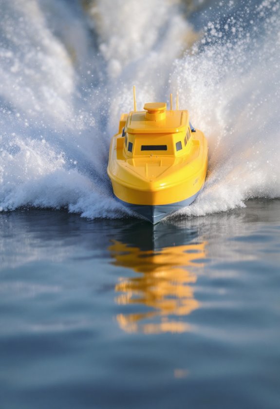
Meanwhile, UAVs and Unmanned Surface Vehicles (USVs) enhance mapping accuracy and efficiency. These tools are like superheroes, adapting to challenging environments and producing invaluable data for research, environmental management, and coastal development. Notably, utilizing advanced GPS systems can significantly improve the precision of bait placement when deploying RC fishing bait boats in shallow water areas.
Airborne Lidar Bathymetry: An Overview
In the domain of underwater exploration, airborne lidar bathymetry (ALB) shines as a cutting-edge technology that effortlessly bridges the gap between land and water. By utilizing lidar technology advancements, ALB captures high-resolution datasets by emitting green laser pulses (around 532 nm) that penetrate the water surface, reflecting off the seafloor below. This intricate dance of light enables precise depth measurements—vital for underwater vegetation mapping.
Key benefits include:
- Rapid data acquisition across extensive shallow areas
- Ability to navigate complex environments like turbid waters or dense vegetation
- Non-invasive approach, minimizing ecological disruption
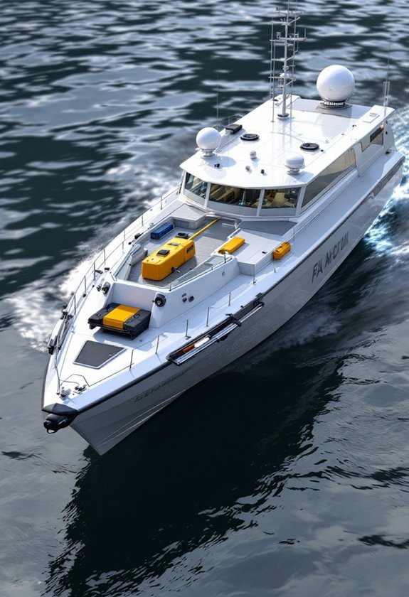
As a cost-effective and efficient method, ALB proves invaluable for coastal management, environmental monitoring, and infrastructure planning, paving the way for a clearer view beneath the waves. Additionally, similar to how all-weather RC boats ensure stability and performance in various conditions, ALB allows for reliable data collection in fluctuating underwater environments.
Acoustic Methods: Side-Scan Sonar and Multibeam Echosounders
As underwater exploration pushes boundaries, acoustic methods such as side-scan sonar and multibeam echosounders (MBES) have emerged as powerful players in mapping shallow water environments.
- Side-scan sonar sends out acoustic pulses, providing high-resolution images of the seafloor, highlighting textures and hardness through light and dark tonal contrasts. Operating frequencies range from 50 kHz for broader surveys to 1 MHz for detailed scans. Remarkably, it doesn’t measure depth directly but complements tools like MBES.
- Multibeam echosounders generate 3D bathymetric maps using multiple beams, accurately capturing depth and terrain. They excel in shallow waters, detecting features and hazards, thanks to advanced navigation sensors. Additionally, advanced GPS positioning enables precise navigation to various underwater features, enhancing mapping accuracy.
Together, these technologies revolutionize how we visualize and understand underwater landscapes—turning opaque waters into map-ready wonders!
Recommended Products

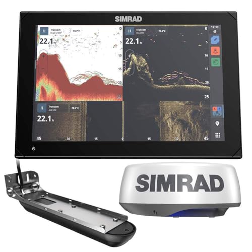
10-INCH SOLARMAX HD TOUCHSCREEN: High-resolution display viewable at extreme angles and through polarized lenses

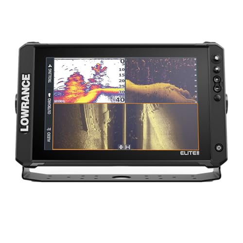
READY-TO-FISH PERFORMANCE: Includes Active Imaging 3-in-1 transducer with CHIRP, SideScan, and DownScan with FishReveal sonar
Utilizing Optical Satellite Imagery for Bathymetry
Utilizing optical satellite imagery for bathymetry offers a revolutionary approach to mapping underwater landscapes, particularly in shallow waters, where clarity and detail are paramount.
With advancements in optical technologies, satellite efficiency has surged, enabling accurate bottom depth retrieval directly from multiband satellite reflectance. This eliminates the burdensome atmospheric corrections required by older methods. For instance, machine learning models can glean insights from reflectance data, yielding depth estimates with an impressive accuracy of around 8.3% to 8.8%.
However, challenges like atmospheric aerosols and turbidity can muddle clarity. Yet, integrating time-series imagery elevates data reliability. By combining these sophisticated techniques, researchers can effectively monitor coastal zones, ushering in an era of swift, remote, and cost-effective shallow water mapping. Moreover, the use of advanced navigation systems in depth mapping can significantly enhance the precision of underwater surveys.
The Role of Unmanned Aerial Vehicles in Mapping
Mapping shallow water beds has evolved considerably with the introduction of unmanned aerial vehicles (UAVs). Thanks to UAV advancements, unique systems can deploy floating sonars in areas that boats can’t access, allowing for accurate bathymetric measurements in both inland lakes and coastal regions.
Key benefits include:
- Enhanced Data Collection: UAVs collect real-time depth measurements and ecological data, enriching hydrological models.
- Cost-Effective Solutions: Low-tech UAV methods enable affordable and repeatable shallow water habitat mapping, ideal for researchers.
- Precision in Monitoring: Systems have achieved up to 98% accuracy in classifying underwater habitats, essential for ecological monitoring.
The evolution of UAV technology transforms oceanic exploration, making once-difficult tasks manageable—like fishing in a pond with a giant robot buddy! Incorporating features like a 480P HD camera in these UAVs can greatly enhance the visual data collected during shallow water mapping.
Recommended Products

4.8LBS BAIT CAPACITY: The FD1+ boasts a substantial 4.8 lbs (2.2 kg) bait capacity, allowing for the use of heavier baits to attract bigger fish.

Targets and kills invasive floating, submerged, and emergent weeds like duckweed, milfoil, hydrilla, coontail systemically which prevents sudden oxygen depletion over a longer period of time

Includes transducer for built-in Garmin CHIRP traditional sonar plus CHIRP clearer scanning sonar
Data Processing Techniques for Seabed Classification
Key techniques include:
- Texture Analysis: Local grey-level statistics describe seabed textures, providing essential identifiers.
- Acoustic Backscatter: Analyzing echo signals helps characterize sediment types. Additionally, user-friendly controls enhance the experience for operators during seabed mapping tasks.
Manual vs. Automated Mapping Approaches
While both manual and automated mapping approaches offer unique advantages in the exploration of shallow water beds, they cater to distinct needs and circumstances that researchers and marine scientists face.
Manual Mapping:
- Involves field surveys, echo sounders, and divers.
- Provides high spatial resolution and accurate classification through ground truthing, ideal for small areas.
- Data integration relies heavily on expert interpretation, making it labor-intensive.
Automated Mapping:
- Utilizes remote sensing technologies for wider coverage and quicker results.
- Spectral modeling estimates depth but can falter in turbid waters.
Hybrid Approaches:
– Combine manual survey data with automated outputs, enhancing reliability.
Ultimately, accuracy considerations must guide the choice, balancing accessibility and detail against the efficiency of automated systems.
Recommended Products
MULTIFUNCTION DISPLAY: 12-inch high-definition IPS touch screen with extreme viewing angles, even viewable through polarized lenses
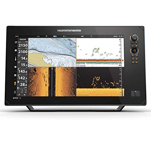
Control Head Only Model: Unit sold without transducer; compatible with Minn Kota trolling motors with Built-in MEGA Imaging, MEGA 360 Imaging accessories, or existing Humminbird Ethernet network sonar sharing

NSX ULTRAWIDE chartplotter and fishfinder brings an all-new aspect ratio for our most immersive experience yet
Accuracy and Limitations of Mapping Technologies
Understanding the accuracy and limitations of mapping technologies used for shallow water beds can feel like maneuvering through a labyrinth, where precision and clarity are often at odds with environmental challenges. With reported bathymetric accuracy values reaching \( R^2 \) scores of 0.94 to 0.99, however, promising results emerge.
Nonetheless, factors such as water clarity dramatically influence outcomes. Turbid waters can blur spectral signals, making depth retrieval tricky. Algorithm bias also plays a role; single algorithms may misrepresent data. To enhance reliability, data transparency during model training is essential.
Best Practices for Ground-Truthing and Validation
Mapping shallow water beds requires a keen understanding of ground-truthing and validation processes, which serve as the backbone of accurate modeling efforts. Employing effective ground truthing techniques is essential; direct visual observations and underwater videos offer vital in situ confirmations, while echo sounder data validates remote sensing outputs.
Best practices include:
- Field Data Collection: Conduct this alongside remote sensing to maintain accuracy.
- Environmental Recording: Capture conditions such as water turbidity during validation—these factors matter!
- GPS Accuracy: Utilize high-precision tools for precise geolocation of samples.
Moreover, a well-distributed array of ground-truth points across various habitats reduces bias, enhancing the reliability of the validation methods employed. Ultimately, a rigorous approach fosters exceptional mapping accuracy, like finding a needle in a haystack—without the hay!
Integrating Multiple Data Sources for Enhanced Mapping Accuracy
- Error correction algorithms, such as Support Vector Machines, reduce depth estimation errors considerably—improving RMSE from ~1.23m to ~0.15m.
- Model integration of various machine learning approaches strengthens depth retrieval, blending empirical and physical methods for reliability.
- Additionally, using multiple temporal datasets helps mitigate spatial uncertainty, as conditions in shallow waters can vary dramatically.
Such systematic methods yield high confidence in data accuracy, ensuring that mapping efforts are not merely a shot in the dark, but a well-calibrated exploration of underwater landscapes.
Frequently Asked Questions
What Are the Environmental Impacts of Shallow Water Mapping Technologies?
Environmental sustainability suffers through sediment suspension and habitat disturbance due to shallow water mapping technologies. However, technological advancements mitigate these impacts, offering efficient methods that promote ecological awareness and responsible resource management, ultimately fostering healthier aquatic ecosystems.
How Do Weather Conditions Affect Shallow Water Mapping Accuracy?
Weather effects critically influence mapping techniques for shallow water, causing variability in light penetration, increased turbidity, and surface reflectance changes. These factors lead to inaccuracies in depth estimation and challenges in consistent data interpretation during acquisitions.
Can Mapping Technologies Be Used for Underwater Archaeology?
Mapping technologies act as a lighthouse in dark waters, guiding researchers through underwater surveys to uncover archaeological findings. These tools illuminate hidden histories, enabling detailed exploration and documentation of submerged sites previously lost to time.
What Skills Are Needed for Effective Seabed Mapping?
Effective seabed mapping requires proficiency in mapping techniques and data interpretation, alongside skills in GIS software, hydrographic knowledge, and underwater acoustics. Collaboration and communication abilities further enhance the capacity to analyze and present complex environmental data.
How Is Data Privacy Handled in Mapping Projects?
In mapping projects, approximately 74% of organizations struggle with compliance to privacy regulations. Effective data protection requires integrating rigorous governance, continuous monitoring, and automation to uphold standards while documenting data flow and minimizing risks associated with sensitive information.